|
Full Disclosure: I have loved maps and geography since I was a small child. I can recall the long rows of National Geographic that lined our floor-to-ceiling bookshelf in my living room. When I lucked into teaching geography as a teacher, I found myself working to inspire students to share my love of maps and geography and decrease the number of geographically challenged students.
History Alive
This site offers a variety of book titles by topic and ideas for day trips to bring history, geography, and culture to life.

Town Tours and Village Walks is a free series of strolls through historic neighborhoods. On Thursday evenings (June 9 - August 25), the hour long tour begins and takes people through different parts of Chester County's heritage and landscape. Click here for a schedule of locations for this summer.

This year the CCTC will present Tartuffe at various locations around the region.

There are few places in our country that have as deep and as rich of a history than Philadelphia. From our early colonial period to today, the Philadelphia region has played an important role in the development of our great nation. What better way to spend some free time in the summer then to see some of the historical sites! Help your child see the significance in understanding the past in order to shape the future. Visit Philadelphia is the perfect website to get you started. Have your child take photos for a scrapbook, blog about his/her adventures, write in a journal, or maybe create a multimedia presentation of your visits. The possibilities are endless!

Chester County Historical Society's current exhibit is The 1960s! The Age of Aquarius in Chester County is on display through August 27th.
Websites for the History Lover
|
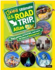
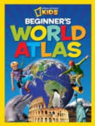
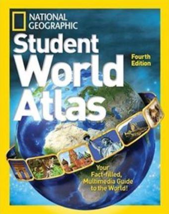
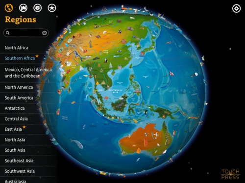
A Geographically Rich EnvironmentAtlas - One of the best investments you can make is a quality atlas. In addition to kids loving to page through them for no reason, they are helpful for building spatial understanding and an appreciation for the world. Here are a few kid-friendly options:
The atlas can be made by your child over the course of the entire summer. You can tour the world, the continents, the states,
or any other combination. Another idea is to create maps based on the books your child reads. You could challenge your child to read a book set in places around the world! Maps - While you can buy maps, there are many websites where you can download free outline maps. Here are a few of my favorites: Map Your Groceries - There are different angles you can take
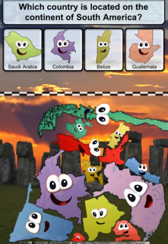
here but this is one activity to get you started. Google Earth - If you are lucky enough to have a home computer, this free download is a must because it provides a bird's eye view of the world. Thanks to the wonders of satellite imagery and creative minds, children can fly all over the world. Whether looking up the location mentioned in a book, checking out where a historical event occurred, or wanting to see what another place looks like, Google Earth can do it and more! Apps[L to R] Stack the Countries, Stack the States, and Barefoot World Atlas

Capzle is a brand new way to record your life, or simply store media in the
cloud. Photos, video, audio, text, documents - arrange all of them in a fluid, chronological stream that you can share or keep private as you like. As with any social media site, parents should determine whether or not it is something worth exposing the student to or if it should be parent-driven. The potential for a parent-child collaboration is high on this site. 
The History Channel has an app for iPad, iPhone, and Android devices. It provides free access to a variety of its resources, which is sure to please the history lover in us all.
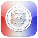
Learn the basics of every U.S. President with the Presidency app. It is a great reference tool and the perfect way to expose children to some of our great leaders. Maybe it will inspire your child to lead!
|